Research Projects
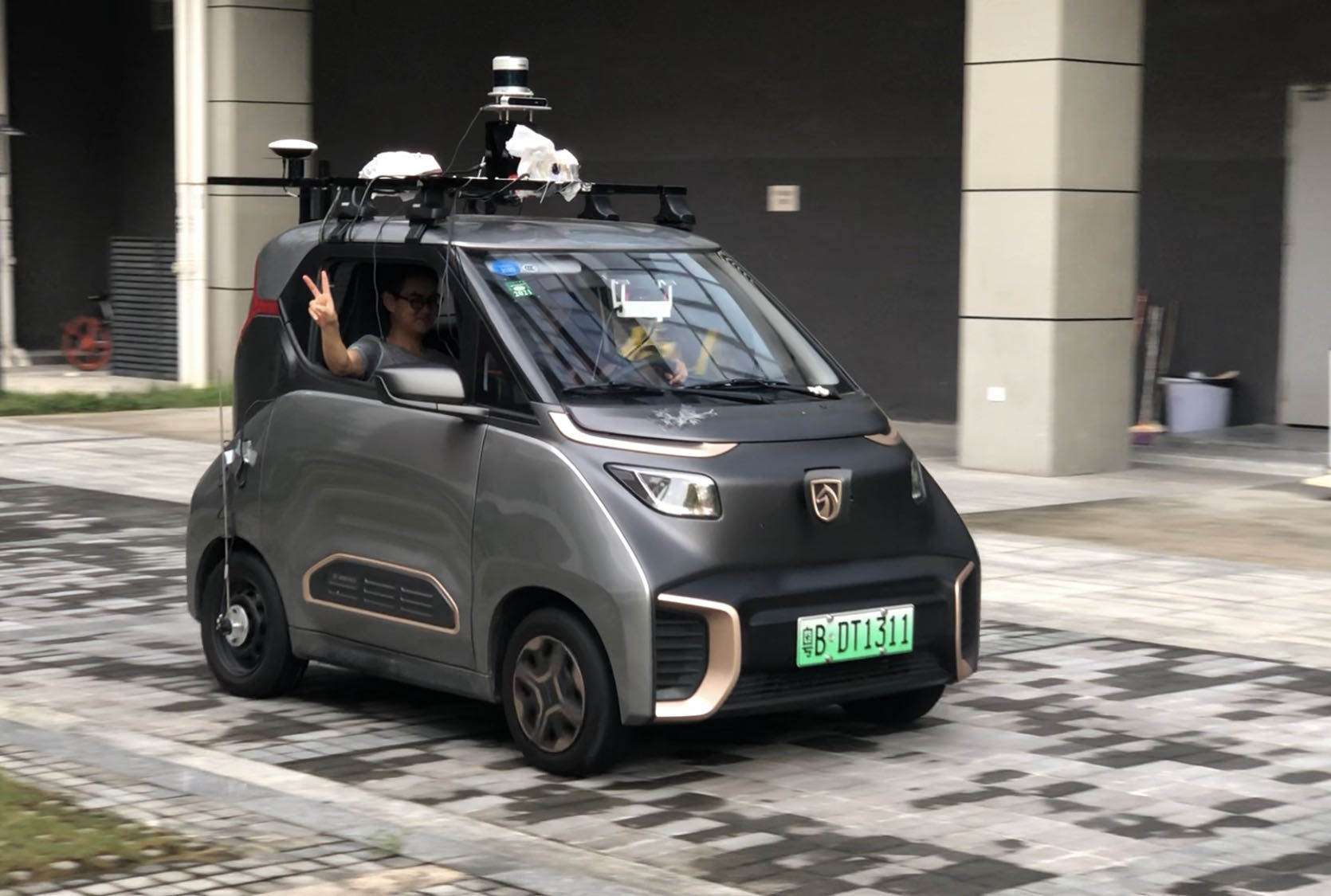
Meta Project Aria
March 2024 - Present
Contributed to localization algorithm development for wearable AR devices using Meta Project Aria hardware.
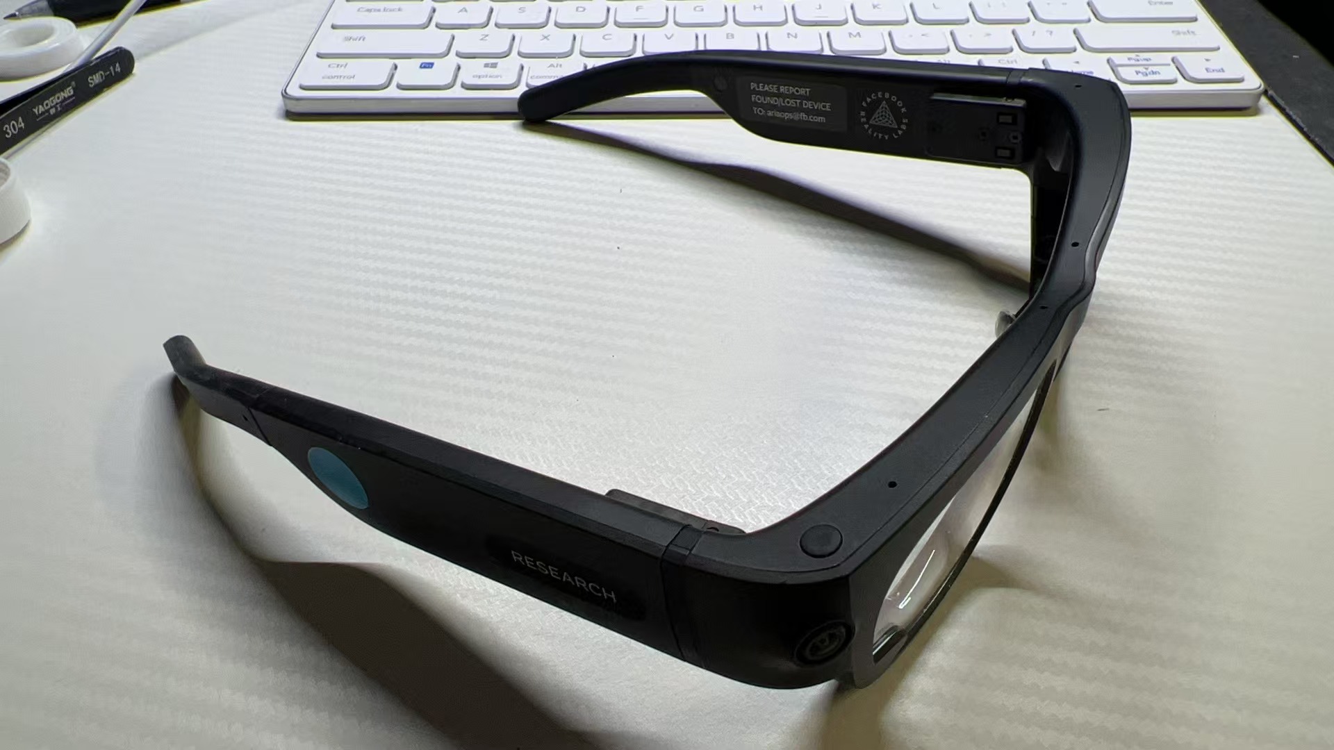
Bike-Based Long-Term Urban Dataset
October 2023 - June 2024
Collected a large-scale urban dataset using a bicycle platform to support dynamic map update research.
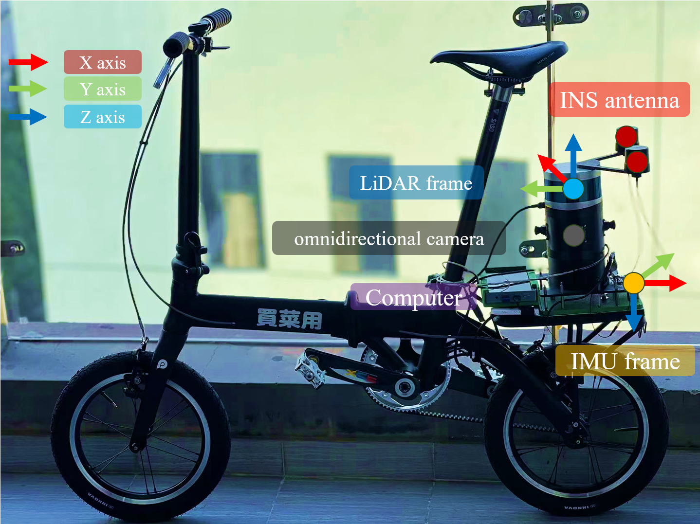
UWB-Aided LiDAR-Inertial Localization
March 2023 - December 2023
Addressed LiDAR degeneracy in tunnel-like environments by integrating UWB anchors into the localization system.
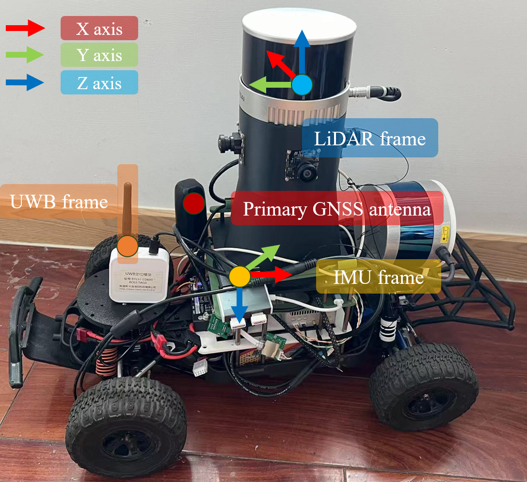
LiDAR-Inertial Localization System
February 2023 - December 2023
Implemented a localization pipeline based on LiDAR-inertial fusion using a prior map for long-term operation.
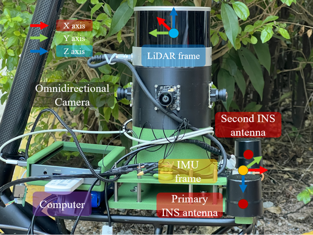
LiDAR-Inertial Mapping Device
March 2023 - October 2023
Designed a tightly coupled LiDAR-inertial mapping system, including its hardware architecture and full sensor calibration.
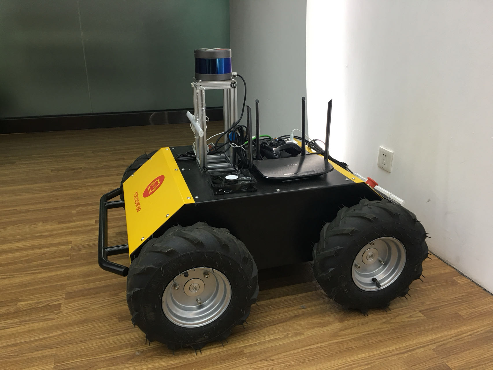
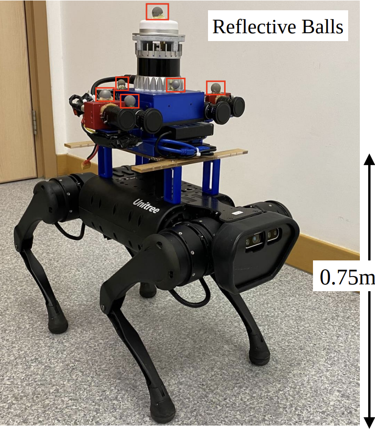
FusionPortable Dataset Collection
December 2021 - September 2022
Built a mobile data collection platform using quadruped robots and contributed to sensor selection, FPGA synchronization, and hardware design.
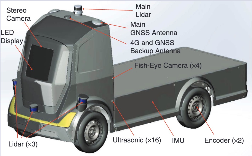
UGV Localization Algorithm Development
October 2018 - October 2021
Led the development and testing of UGV localization algorithms deployed on more than 200 vehicles across multiple operating scenarios.
GNSS-Denied Localization in Harbor Environments
July 2019 - October 2020
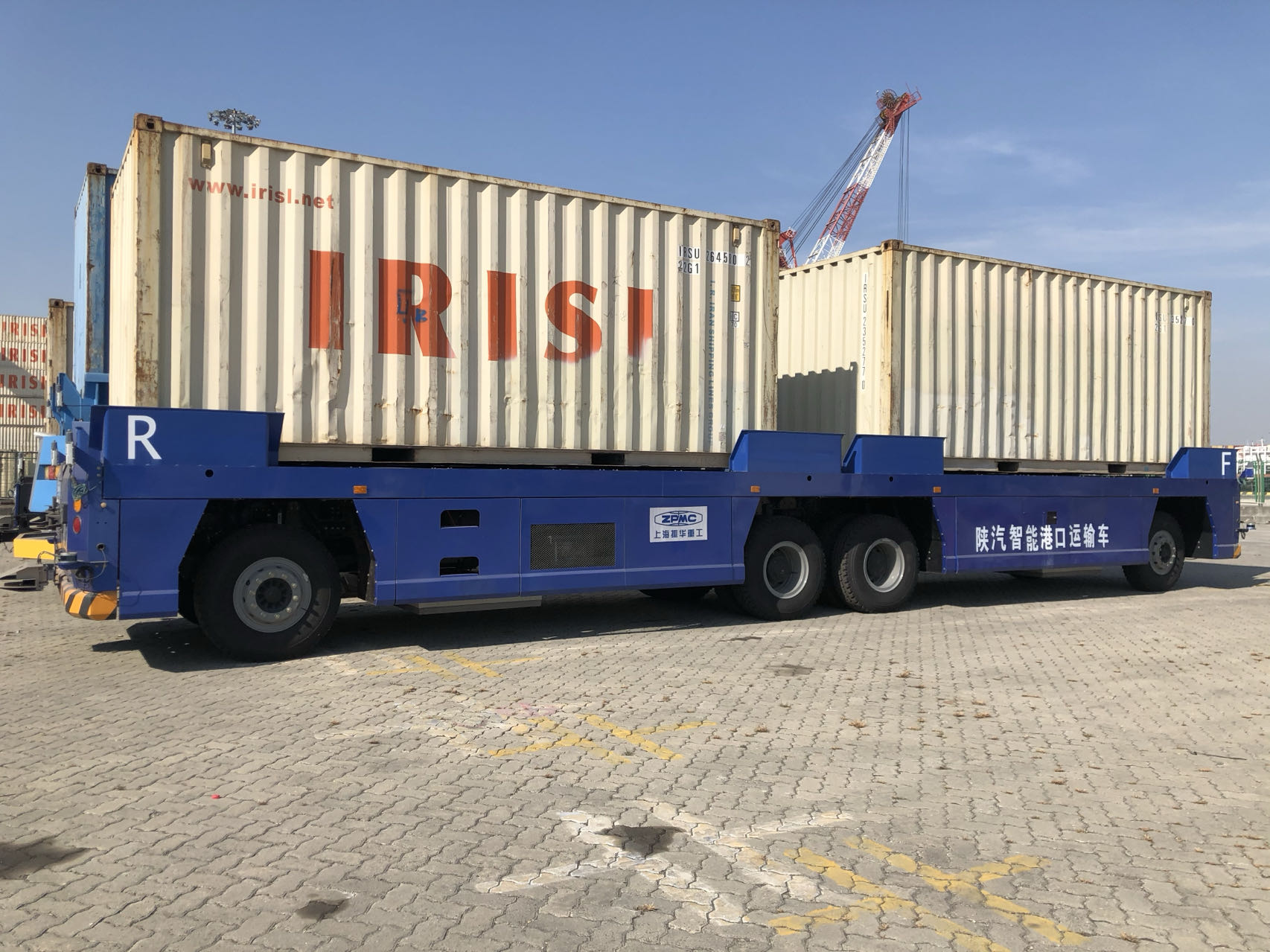
Developed a LiDAR-based pillar localization system for harbor environments and fused it with visual and inertial systems for greater robustness.
Multi-Sensor Fusion Mapping
December 2019 - August 2020
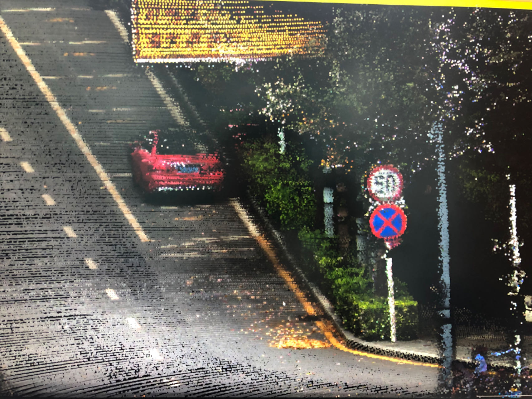
Designed the hardware and performed accurate synchronization and calibration for camera-LiDAR fusion mapping.
Mapping Vehicle Platform Design
March 2019 - July 2019
Designed the hardware architecture and mapping pipeline using a NovAtel CPT inertial navigation system for high-precision mapping.